Leipzig, Gerbergasse 22 (Q482071): Difference between revisions
Jump to navigation
Jump to search


(Created claim: Coordinate location (P48): 51°20'54.2461"N, 12°22'34.7671"E) |
(Changed claim: Wikimedia Commons archival document reproductions (P1089): StadtAL 0008 Nr 3189 Seite 096.jpg) |
||||||||||||||
| (47 intermediate revisions by 2 users not shown) | |||||||||||||||
| Property / Street/square | |||||||||||||||
| Property / Street/square: Leipzig, Gerbergasse / rank | |||||||||||||||
| Property / Address [literal] | |||||||||||||||
| Property / Address [literal]: Brandkataster alt 1140 / rank | |||||||||||||||
| Property / Address [literal] | |||||||||||||||
| Property / Address [literal]: Brandkataster neu 1406 / rank | |||||||||||||||
| Property / Coordinate location | |||||||||||||||
| |||||||||||||||
| Property / Coordinate location: 51°20'54.2461"N, 12°22'34.7671"E / rank | |||||||||||||||
| Property / Localisation | |||||||||||||||
| Property / Localisation: Leipzig, Gerbergasse / rank | |||||||||||||||
Normal rank | |||||||||||||||
| Property / Address [literal] | |||||||||||||||
Brandkataster neu 1398 | |||||||||||||||
| Property / Address [literal]: Brandkataster neu 1398 / rank | |||||||||||||||
Normal rank | |||||||||||||||
| Property / Address [literal]: Brandkataster neu 1398 / qualifier | |||||||||||||||
Begin date: 1842
| |||||||||||||||
| Property / Address [literal]: Brandkataster neu 1398 / reference | |||||||||||||||
| Property / Address [literal] | |||||||||||||||
Brandkataster alt 1150 | |||||||||||||||
| Property / Address [literal]: Brandkataster alt 1150 / rank | |||||||||||||||
Normal rank | |||||||||||||||
| Property / Address [literal]: Brandkataster alt 1150 / qualifier | |||||||||||||||
End date: 1842
| |||||||||||||||
| Property / Address [literal]: Brandkataster alt 1150 / reference | |||||||||||||||
| Property / Coordinate location | |||||||||||||||
51°20'49.445"N, 12°22'37.610"E
| |||||||||||||||
| Property / Coordinate location: 51°20'49.445"N, 12°22'37.610"E / rank | |||||||||||||||
Normal rank | |||||||||||||||
| Property / Coordinate location: 51°20'49.445"N, 12°22'37.610"E / reference | |||||||||||||||
| Property / Wikimedia Commons archival document reproductions | |||||||||||||||
| Property / Wikimedia Commons archival document reproductions: StadtAL 0008 Nr 3171 Seite 148.jpg / rank | |||||||||||||||
Normal rank | |||||||||||||||
| Property / Wikimedia Commons archival document reproductions: StadtAL 0008 Nr 3171 Seite 148.jpg / qualifier | |||||||||||||||
Address [literal]: Brandkataster alt | |||||||||||||||
| Property / Wikimedia Commons archival document reproductions: StadtAL 0008 Nr 3171 Seite 148.jpg / qualifier | |||||||||||||||
Begin date: 1807
| |||||||||||||||
| Property / Wikimedia Commons archival document reproductions: StadtAL 0008 Nr 3171 Seite 148.jpg / qualifier | |||||||||||||||
End date: 1808
| |||||||||||||||
| Property / Wikimedia Commons archival document reproductions: StadtAL 0008 Nr 3171 Seite 148.jpg / reference | |||||||||||||||
| Property / Wikimedia Commons archival document reproductions | |||||||||||||||
| Property / Wikimedia Commons archival document reproductions: StadtAL 0008 Nr 3172 Seite 097.jpg / rank | |||||||||||||||
Normal rank | |||||||||||||||
| Property / Wikimedia Commons archival document reproductions: StadtAL 0008 Nr 3172 Seite 097.jpg / qualifier | |||||||||||||||
Address [literal]: Brandkataster alt | |||||||||||||||
| Property / Wikimedia Commons archival document reproductions: StadtAL 0008 Nr 3172 Seite 097.jpg / qualifier | |||||||||||||||
Begin date: 1808
| |||||||||||||||
| Property / Wikimedia Commons archival document reproductions: StadtAL 0008 Nr 3172 Seite 097.jpg / qualifier | |||||||||||||||
End date: 1810
| |||||||||||||||
| Property / Wikimedia Commons archival document reproductions: StadtAL 0008 Nr 3172 Seite 097.jpg / reference | |||||||||||||||
| Property / Wikimedia Commons archival document reproductions | |||||||||||||||
| Property / Wikimedia Commons archival document reproductions: StadtAL 0008 Nr 3175 Seite 357.jpg / rank | |||||||||||||||
Normal rank | |||||||||||||||
| Property / Wikimedia Commons archival document reproductions: StadtAL 0008 Nr 3175 Seite 357.jpg / qualifier | |||||||||||||||
Address [literal]: Brandkataster alt | |||||||||||||||
| Property / Wikimedia Commons archival document reproductions: StadtAL 0008 Nr 3175 Seite 357.jpg / qualifier | |||||||||||||||
Begin date: 1810
| |||||||||||||||
| Property / Wikimedia Commons archival document reproductions: StadtAL 0008 Nr 3175 Seite 357.jpg / qualifier | |||||||||||||||
End date: 1823
| |||||||||||||||
| Property / Wikimedia Commons archival document reproductions: StadtAL 0008 Nr 3175 Seite 357.jpg / reference | |||||||||||||||
| Property / Wikimedia Commons archival document reproductions | |||||||||||||||
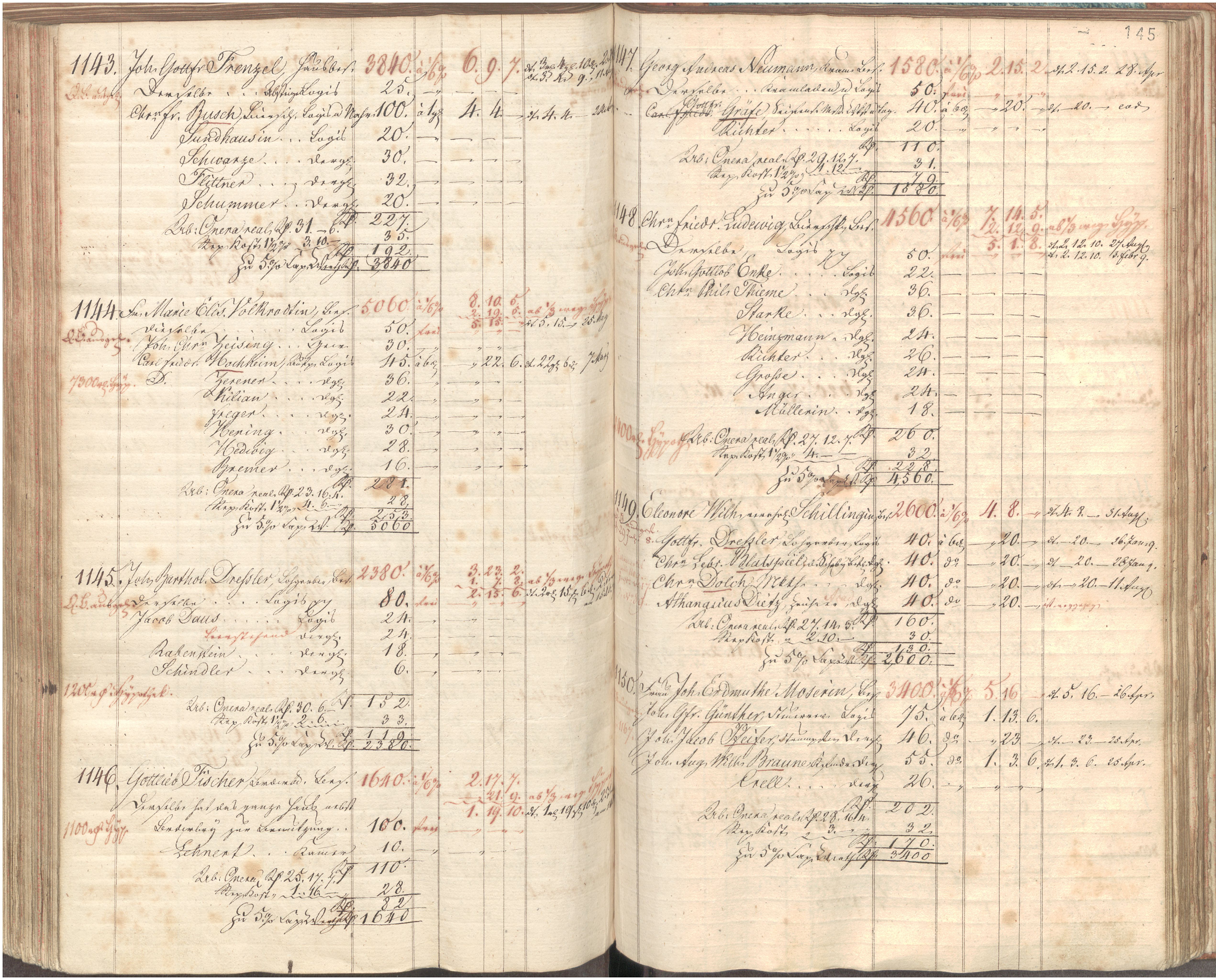
| Property / Wikimedia Commons archival document reproductions: StadtAL 0008 Nr 3189 Seite 096.jpg / rank | |||||||||||||||
Normal rank | |||||||||||||||
| Property / Wikimedia Commons archival document reproductions: StadtAL 0008 Nr 3189 Seite 096.jpg / qualifier | |||||||||||||||
Address [literal]: Brandkataster neu | |||||||||||||||
| Property / Wikimedia Commons archival document reproductions: StadtAL 0008 Nr 3189 Seite 096.jpg / qualifier | |||||||||||||||
Begin date: 1842
| |||||||||||||||
| Property / Wikimedia Commons archival document reproductions: StadtAL 0008 Nr 3189 Seite 096.jpg / qualifier | |||||||||||||||
End date: 1854
| |||||||||||||||
| Property / Wikimedia Commons archival document reproductions: StadtAL 0008 Nr 3189 Seite 096.jpg / reference | |||||||||||||||
Latest revision as of 12:18, 7 August 2024
No description defined
| Language | Label | Description | Also known as |
|---|---|---|---|
| English | Leipzig, Gerbergasse 22 |
No description defined |
Statements
Brandkataster neu 1398
1842
Brandkataster alt 1150
1842
51°20'49.445"N, 12°22'37.610"E

StadtAL 0008 Nr 3171 Seite 148.jpg
5,083 × 4,095; 3.83 MB
5,083 × 4,095; 3.83 MB


StadtAL 0008 Nr 3175 Seite 357.jpg
1,953 × 2,638; 394 KB
1,953 × 2,638; 394 KB

StadtAL 0008 Nr 3189 Seite 096.jpg
4,073 × 5,743; 3.42 MB
4,073 × 5,743; 3.42 MB