Leipzig, Neumarkt 28 (Q482852): Difference between revisions
Jump to navigation
Jump to search
(Created claim: Coordinate location (P48): 51°20'16.6636"N, 12°22'35.3744"E) |
(Added reference to claim: Wikimedia Commons archival document reproductions (P1089): StadtAL 0008 Nr 3171 Seite 165.jpg, #quickstatements; #temporary_batch_1712777180963) |
||||||||||||||
| (35 intermediate revisions by 2 users not shown) | |||||||||||||||
| Property / Street/square | |||||||||||||||
| Property / Street/square: Leipzig, Neumarkt / rank | |||||||||||||||
| Property / Address [literal] | |||||||||||||||
| Property / Address [literal]: Brandkataster alt 638 b / rank | |||||||||||||||
| Property / Address [literal] | |||||||||||||||
| Property / Address [literal]: Brandkataster neu 51 / rank | |||||||||||||||
| Property / Coordinate location | |||||||||||||||
| |||||||||||||||
| Property / Coordinate location: 51°20'16.6636"N, 12°22'35.3744"E / rank | |||||||||||||||
| Property / Localisation | |||||||||||||||
| Property / Localisation: Leipzig, Neumarkt / rank | |||||||||||||||
Normal rank | |||||||||||||||
| Property / Address [literal] | |||||||||||||||
Brandkataster neu 51 | |||||||||||||||
| Property / Address [literal]: Brandkataster neu 51 / rank | |||||||||||||||
Normal rank | |||||||||||||||
| Property / Address [literal]: Brandkataster neu 51 / qualifier | |||||||||||||||
Begin date: 1842
| |||||||||||||||
| Property / Address [literal]: Brandkataster neu 51 / reference | |||||||||||||||
| Property / Address [literal] | |||||||||||||||
Brandkataster alt 638 b | |||||||||||||||
| Property / Address [literal]: Brandkataster alt 638 b / rank | |||||||||||||||
Normal rank | |||||||||||||||
| Property / Address [literal]: Brandkataster alt 638 b / qualifier | |||||||||||||||
End date: 1842
| |||||||||||||||
| Property / Address [literal]: Brandkataster alt 638 b / reference | |||||||||||||||
| Property / Coordinate location | |||||||||||||||
51°20'16.624"N, 12°22'35.058"E
| |||||||||||||||
| Property / Coordinate location: 51°20'16.624"N, 12°22'35.058"E / rank | |||||||||||||||
Normal rank | |||||||||||||||
| Property / Coordinate location: 51°20'16.624"N, 12°22'35.058"E / reference | |||||||||||||||
| Property / Wikimedia Commons archival document reproductions | |||||||||||||||
| Property / Wikimedia Commons archival document reproductions: StadtAL 0008 Nr 3171 Seite 165.jpg / rank | |||||||||||||||
Normal rank | |||||||||||||||
| Property / Wikimedia Commons archival document reproductions: StadtAL 0008 Nr 3171 Seite 165.jpg / qualifier | |||||||||||||||
Address [literal]: Brandkataster alt | |||||||||||||||
| Property / Wikimedia Commons archival document reproductions: StadtAL 0008 Nr 3171 Seite 165.jpg / qualifier | |||||||||||||||
Begin date: 1807
| |||||||||||||||
| Property / Wikimedia Commons archival document reproductions: StadtAL 0008 Nr 3171 Seite 165.jpg / qualifier | |||||||||||||||
End date: 1808
| |||||||||||||||
| Property / Wikimedia Commons archival document reproductions: StadtAL 0008 Nr 3171 Seite 165.jpg / reference | |||||||||||||||
Latest revision as of 22:59, 10 April 2024
No description defined
| Language | Label | Description | Also known as |
|---|---|---|---|
| English | Leipzig, Neumarkt 28 |
No description defined |
Statements
Brandkataster neu 51
1842
Brandkataster alt 638 b
1842
51°20'16.624"N, 12°22'35.058"E

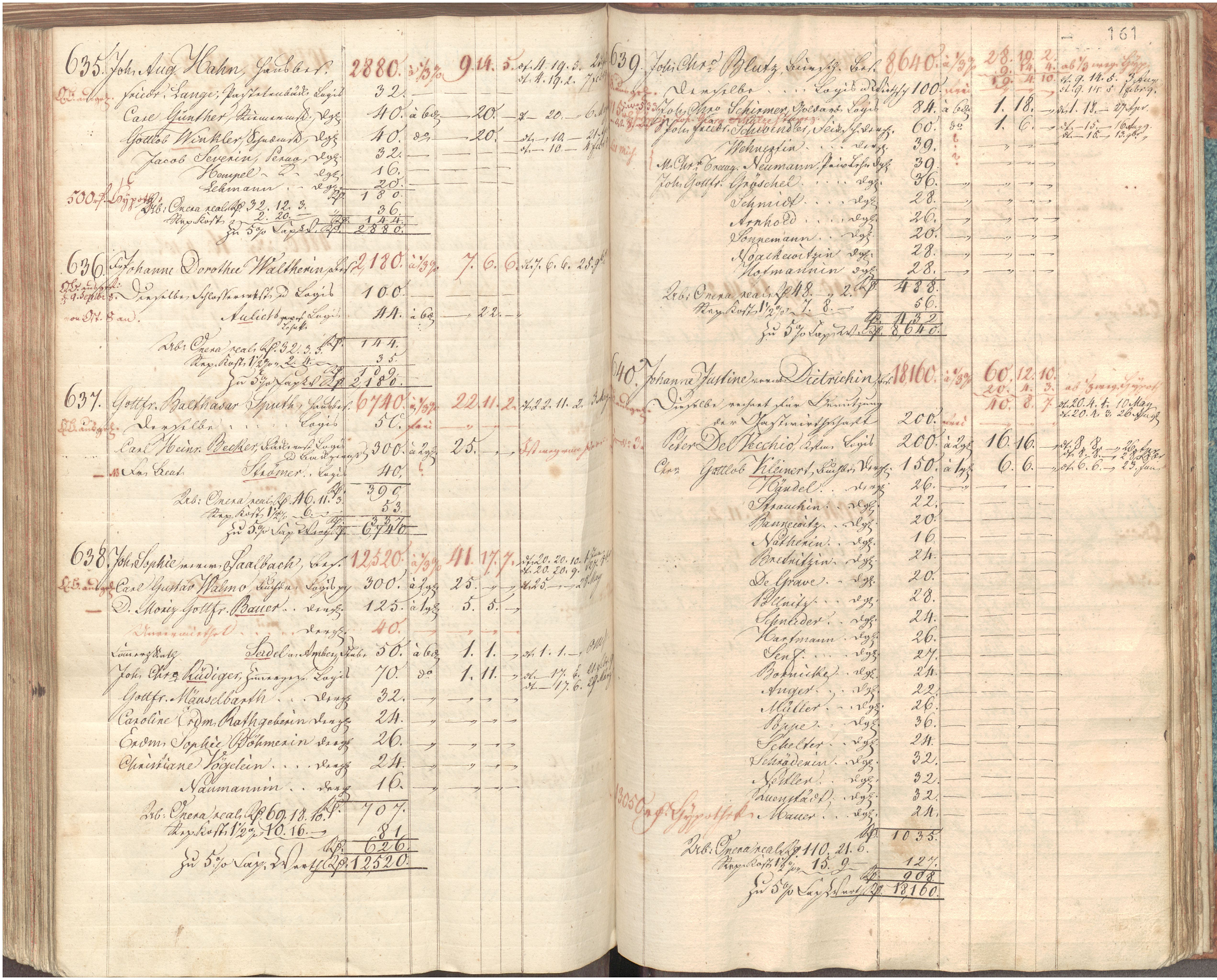
StadtAL 0008 Nr 3171 Seite 165.jpg
5,083 × 4,094; 3.8 MB
5,083 × 4,094; 3.8 MB