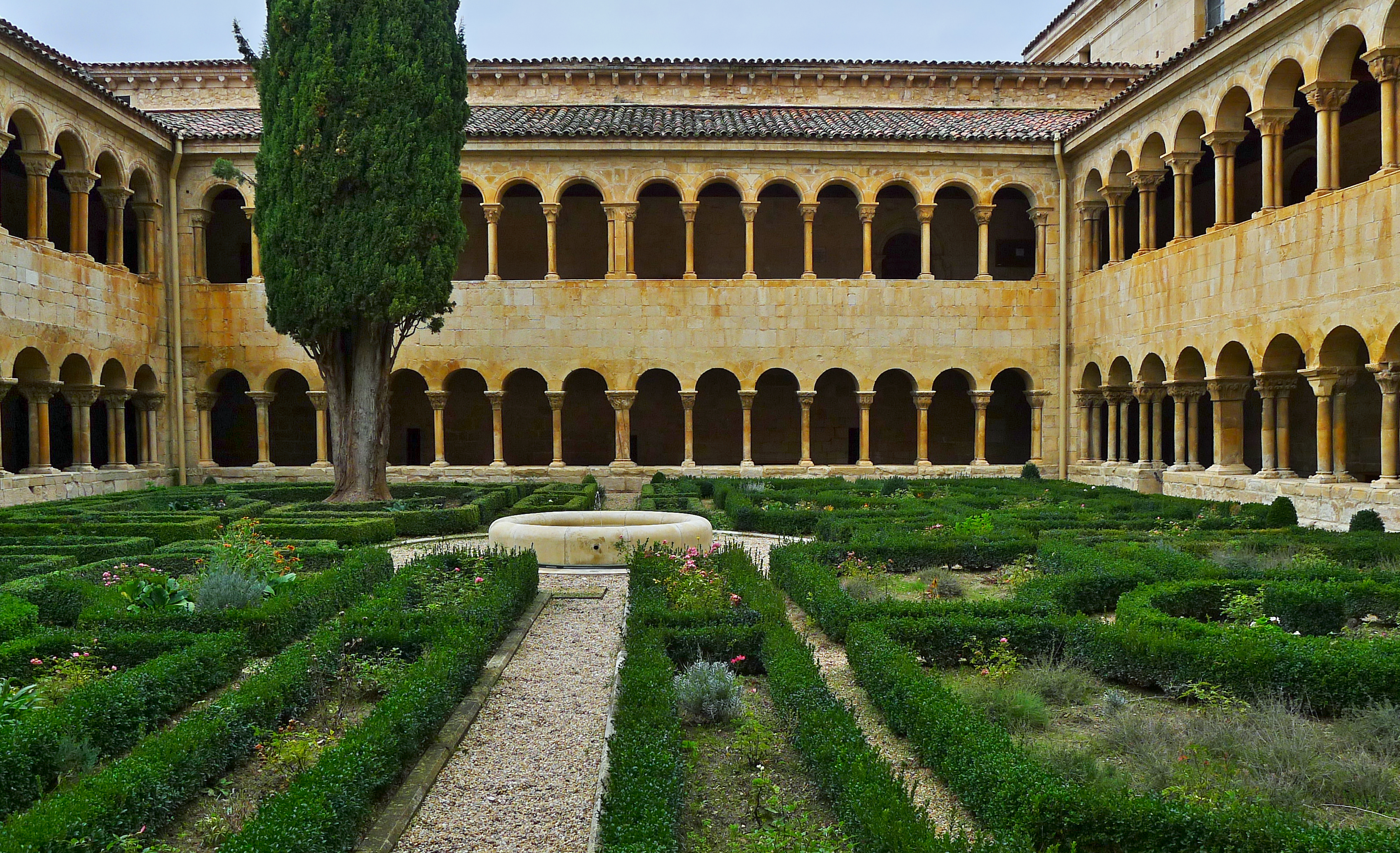
Santo Domingo de Silos, monastery (Q398961): Difference between revisions
Jump to navigation
Jump to search
(Created claim: Wikimedia Commons Item image file (P189): Claustro de Santo Domingo de Silos. Galería sur.jpg) |
(Created claim: Coordinate location (P48): 41°57'43"N, 3°25'9"W) |
||||||||||
| Property / Coordinate location | |||||||||||
41°57'43"N, 3°25'9"W
| |||||||||||
| Property / Coordinate location: 41°57'43"N, 3°25'9"W / rank | |||||||||||
Normal rank | |||||||||||
Revision as of 14:27, 11 April 2022
Benedictine monastery
- BETA insid 1027
| Language | Label | Description | Also known as |
|---|---|---|---|
| English | Santo Domingo de Silos, monastery |
Benedictine monastery |
|
Statements
10. century
0 references
41°57'43"N, 3°25'9"W
0 references
Sitelinks
Wikipedia(0 entries)
Wikinews(0 entries)
Wikiquote(0 entries)
Wikisource(0 entries)
Wikivoyage(0 entries)
Other sites(1 entry)
- wikidatawiki Q1340405
