Kingdom of Kongo (Q536965): Difference between revisions
Jump to navigation
Jump to search
(Changed claim: Wikimedia Commons Item image (P189): Kongo audience.jpg) |
(Changed claim: Wikimedia Commons Item image (P189): Mercator Congo map.jpg) |
||
| Property / Wikimedia Commons Item image: Mercator Congo map.jpg / qualifier | |||
Title: Historische Karte des Kongo (um 1630) | |||
Revision as of 12:02, 11 July 2023
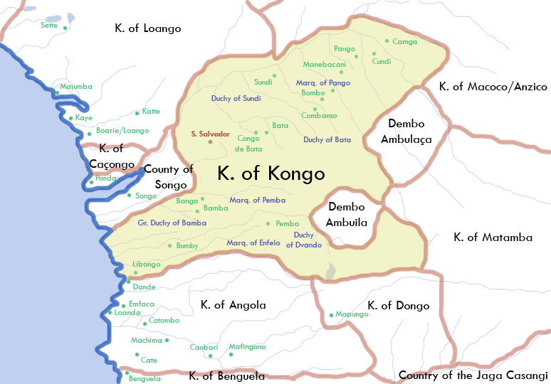
kingdom in Central Africa located in present-day northern Angola, the western portion of the Democratic Republic of the Congo, and the Republic of the Congo
- Wene wa Kongo
- Kongo dya Ntotila
- Reino do Congo
| Language | Label | Description | Also known as |
|---|---|---|---|
| English | Kingdom of Kongo |
kingdom in Central Africa located in present-day northern Angola, the western portion of the Democratic Republic of the Congo, and the Republic of the Congo |
|
Statements
1395
0 references
6°16'0.001"S, 14°15'0.000"E
0 references
1914
0 references
Kongo audience.jpg
640 × 491; 173 KB
640 × 491; 173 KB
Der Mani-Kongo João I. gewährt 1482 portugiesischen Seefahrern und Emissären um Diogo Cão eine Audienz. Radierung von Johann Theodor de Bry im Buch Índias Orientais, 1597.
0 references
Identifiers
Sitelinks
Wikipedia(4 entries)
- dewiki Königreich Kongo
- enwiki Kingdom of Kongo
- frwiki Royaume du Kongo
- ruwiki Королевство Конго
Wikinews(0 entries)
Wikiquote(0 entries)
Wikisource(0 entries)
Wikivoyage(0 entries)
Other sites(1 entry)
- wikidatawiki Q796583


