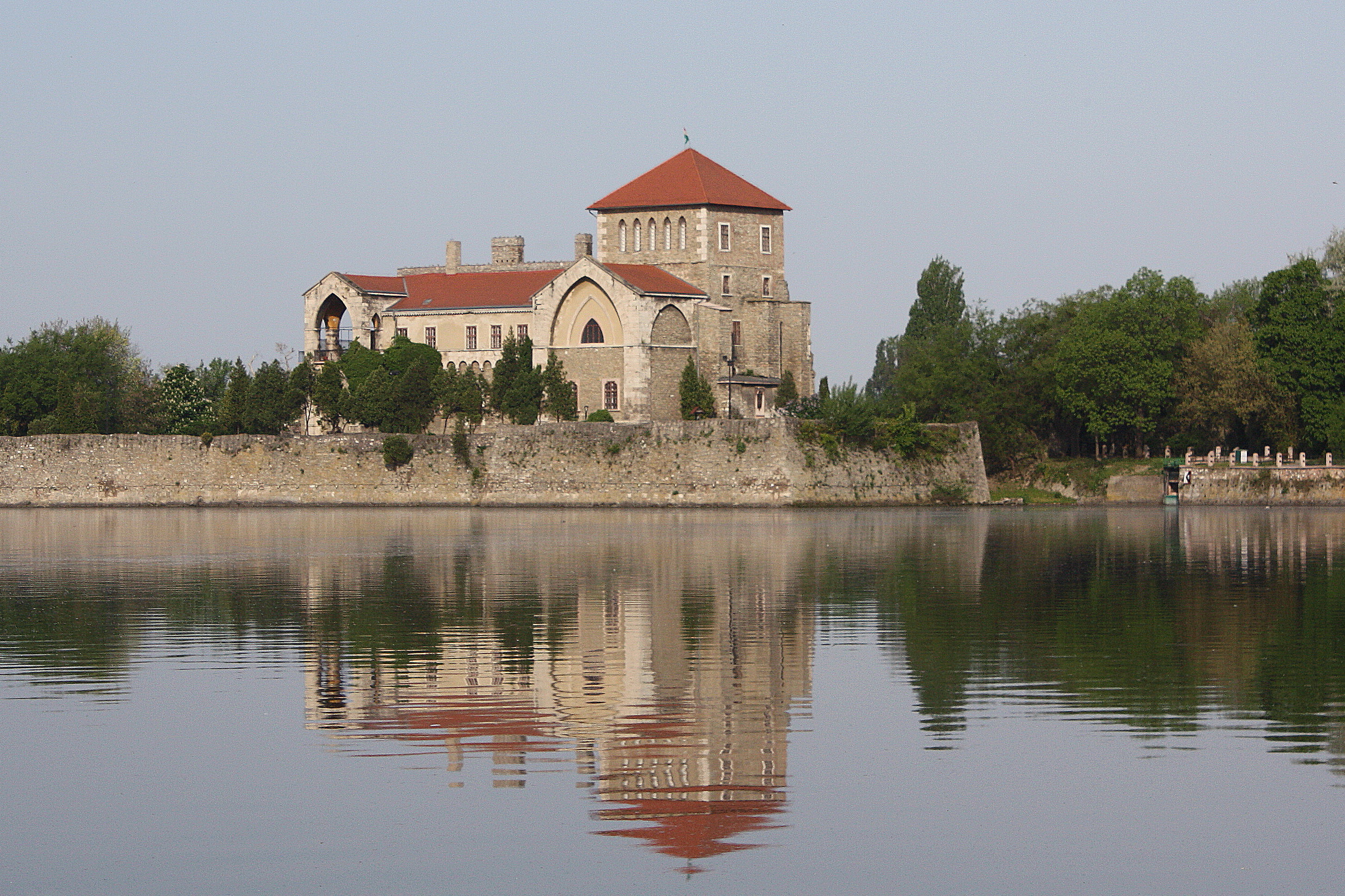
Tata (Q266969): Difference between revisions
Jump to navigation
Jump to search
(Created claim: Wikimedia Commons Item image (P189): Tata Castle 5.jpg) |
Olaf Simons (talk | contribs) (Removed claim: Coordinate location (P48): 47°39'18"N, 18°19'42"E) |
||||||||||
| (8 intermediate revisions by 2 users not shown) | |||||||||||
| label / hu | label / hu | ||||||||||
Tata | |||||||||||
| label / es | label / es | ||||||||||
Tata | |||||||||||
| description / hu | description / hu | ||||||||||
hely Magyarországon | |||||||||||
| description / es | description / es | ||||||||||
lugar en Hungría | |||||||||||
| Property / Coordinate location | |||||||||||
| |||||||||||
| Property / Coordinate location: 47°39'18"N, 18°19'42"E / rank | |||||||||||
| Property / Coordinate location | |||||||||||
47°39'0.000"N, 18°19'0.001"E
| |||||||||||
| Property / Coordinate location: 47°39'0.000"N, 18°19'0.001"E / rank | |||||||||||
Normal rank | |||||||||||
| Property / Website | |||||||||||
| Property / Website: https://tata.hu/ / rank | |||||||||||
Normal rank | |||||||||||
| Property / Country | |||||||||||
| Property / Country: Hungary / rank | |||||||||||
Normal rank | |||||||||||
| Property / GeoNames ID | |||||||||||
| Property / GeoNames ID: 3044083 / rank | |||||||||||
Normal rank | |||||||||||
Latest revision as of 10:13, 2 August 2022
Town in Komárom-Esztergom, Hungary
- Totis
- Dotis
| Language | Label | Description | Also known as |
|---|---|---|---|
| English | Tata |
Town in Komárom-Esztergom, Hungary |
|
Statements
47°39'0.000"N, 18°19'0.001"E
0 references
Identifiers
Sitelinks
Wikipedia(2 entries)
- dewiki Tata (Ungarn)
- enwiki Tata, Hungary
Wikinews(0 entries)
Wikiquote(0 entries)
Wikisource(0 entries)
Wikivoyage(0 entries)
Other sites(1 entry)
- wikidatawiki Q329768
