FactGrid:Paris: Difference between revisions
Jump to navigation
Jump to search
Olaf Simons (talk | contribs) No edit summary |
Olaf Simons (talk | contribs) m (Olaf Simons moved page FactGrid:Paris to Download to FactGrid:Paris) |
(No difference)
| |
Revision as of 22:50, 14 August 2023
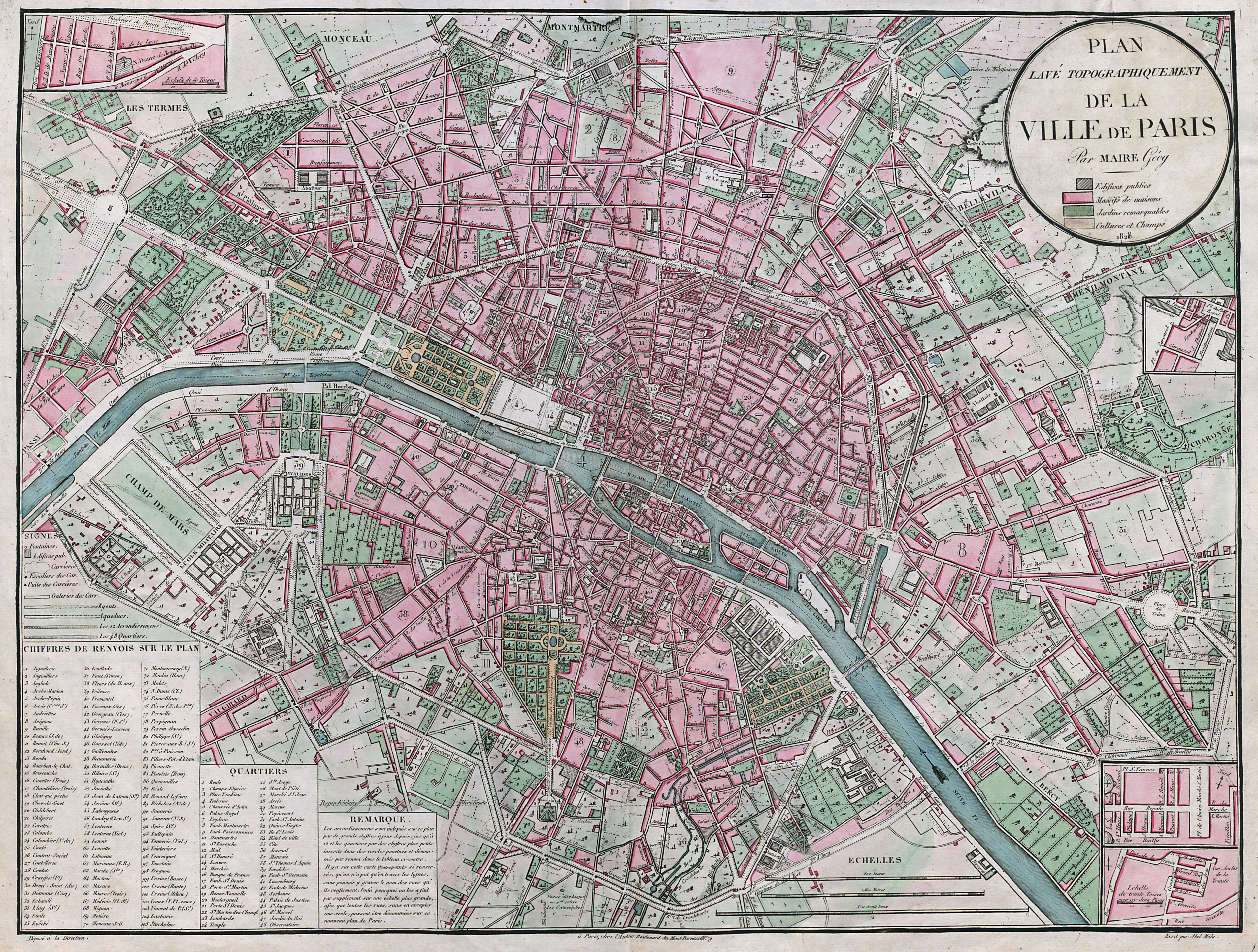
Some data sets on the map:
- streets of Paris before 1860
- streets of Paris today
- plans cadastraux des immeubles parisiens (1809-1854)/cadastral plans of Parisian buildings (1809-1854)
- Parisian theaters in 19th century
- Parisian painters in 1834
- Parisian booksellers in 1812
- Parisian scholars and playwrights in 1834
- Parisian writers in 1834
Contact Bruno Belhoste
